A domicile address is the practical layer. It is where you live, where your mail goes, and the locality name people use locally. An administrative postcode is the statistical and postal boundary around that address. They usually overlap, but they are not the same thing.
The simplest case is 3011 Bern. You get one locality, one municipality, and no ambiguity. But the messy cases are the ones you need to understand. 1008 Prilly splits 50/50 between Prilly and Jouxtens-Mézery. 1040 Echallens is shared across three municipalities. 1000 Lausanne 25 stays inside one municipality, but the locality names shift around within the same postcode family. The postcode simply doesn't answer every question.
Where people get confused
People often treat a postcode as if it were a municipality. This works fine in Wolfenschiessen. It fails completely in Prilly and Echallens. Even an almost clean case like 6052 Hergiswil NW contains a tiny piece of Horw. The exact street still matters.
The reverse mistake is assuming one municipality has only one postal or locality label. Lausanne proves otherwise. The municipality stays the same, but the locality names shift within the 1000 family. If you only read the postcode headline, you miss how the address works on the ground.
Which layer answers which question
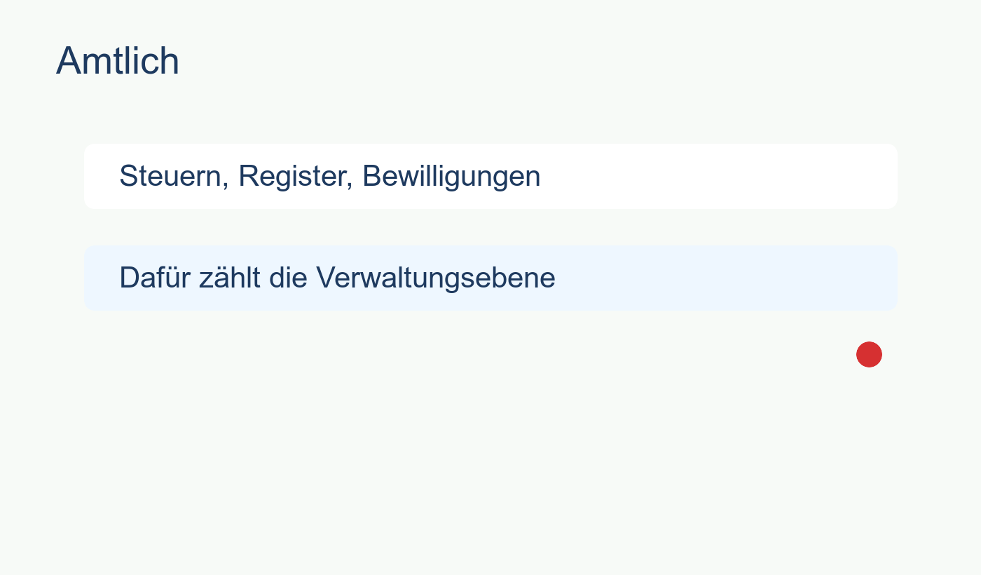
For taxes, rely on the municipality and the canton. The postcode label is just a shortcut. It doesn't determine the tax rate. This is why the municipal split matters more than the headline postcode.
For municipality questions, trust the BFS municipality and its weighted share. If a postcode splits across several municipalities, that split is the answer.
For mailing questions, use the locality and the delivery address. That's what goes on the envelope.
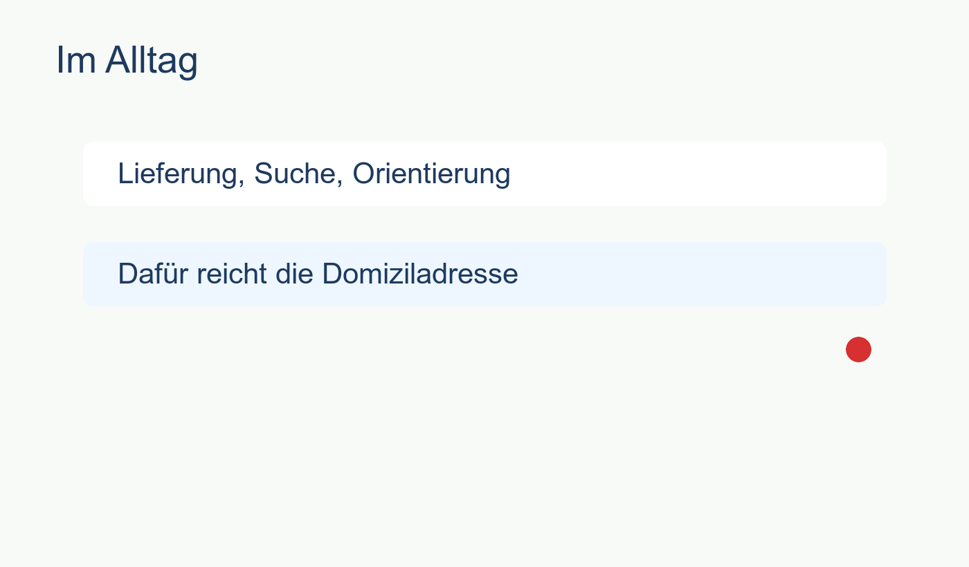
For residence questions, start with the domicile layer, then verify the municipality. If the postcode page shows a clean match, you're fine. If it shows a split, check the exact locality or street.
How to use PLZHub pages
Treat PLZHub as a shortlisting tool. The municipalities block shows whether the postcode belongs to one place or several. The localities block shows which place names people use. When both point to the same answer, the data is simple. When they split, the postcode is just a frame.
Take 1148 Chavannes-le-Veyron. The main municipality dominates, but small pieces spill into neighboring municipalities. Use PLZHub to spot these edges without pretending to make the final administrative call for you.
When to stop trusting the postcode
If you are dealing with taxes, legal residence, or any binding administrative step, stop at the postcode page. Go to the official municipal or cantonal register. Use PLZHub to map the layout, not to replace the official source.