The three layers of a Swiss address
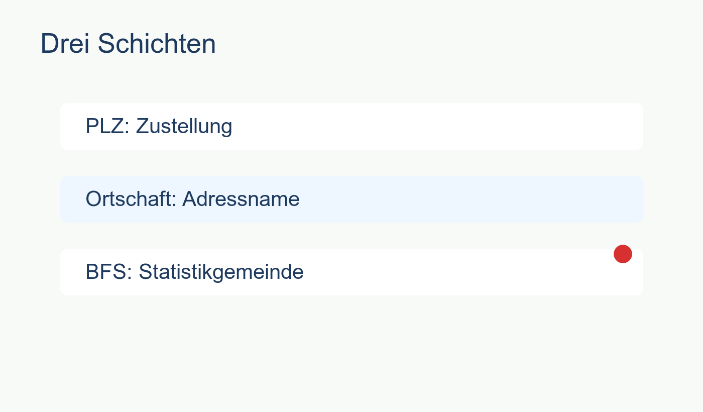
To understand Swiss addresses, you need to separate three concepts that usually get mashed together in everyday conversation.
The postcode is purely a logistical tool created by Swiss Post to deliver mail efficiently. The locality is the official name of the settlement - the name on the street signs. The BFS municipality (defined by the Federal Statistical Office) is the political and administrative reality. It is the entity that collects your taxes, organizes your schools, and counts your votes.
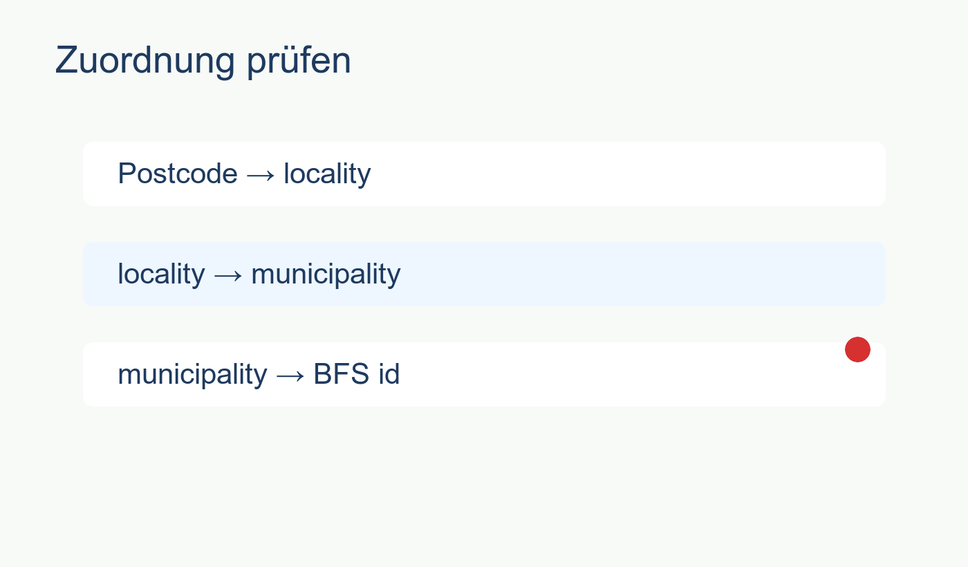
In a perfect world, they line up. In reality, especially outside of old city centers, they constantly overlap and diverge.
When everything lines up perfectly
3011 Bern is the textbook example of a clean address. It has one locality name, one postcode, and sits 100% inside a single municipality. This is how most people assume the system works everywhere.
1000 Lausanne 25 is slightly messier but still politically clean. The postcode carries multiple locality labels (like Lausanne 25, Lausanne 26, and Lausanne 27), but the municipality layer stays strictly at 100% Lausanne. The post office created subdivisions, but the political border didn't budge.
When the post office and the politicians disagree
The real confusion starts when postcodes cross municipal lines.
Look at 1008 Prilly. You write "Prilly" on the envelope, but the postcode footprint is split 50/50 between the municipality of Prilly and the municipality of Jouxtens-Mézery. Depending on which side of the street you live on, your tax bill will be completely different, even though your postcode is identical.
1040 Echallens pushes this even further, covering three different municipalities roughly a third each. And then there are cases like 6052 Hergiswil NW. It is 99.8% Hergiswil, but a tiny 0.2% sliver bleeds into neighboring Horw.
This is why PLZHub exposes these splits. If you assume a postcode map is a political map, you are going to get an expensive surprise when the tax assessment arrives.
Which layer should you trust?
It depends entirely on what you are trying to do.
If you are setting your GPS, looking for an apartment on a real estate portal, or ordering a package, trust the postcode and locality.
If you are trying to figure out your tax rate, researching local schools, or looking at official census data, you must trust the BFS municipality. Never use a postcode to answer a municipal question.