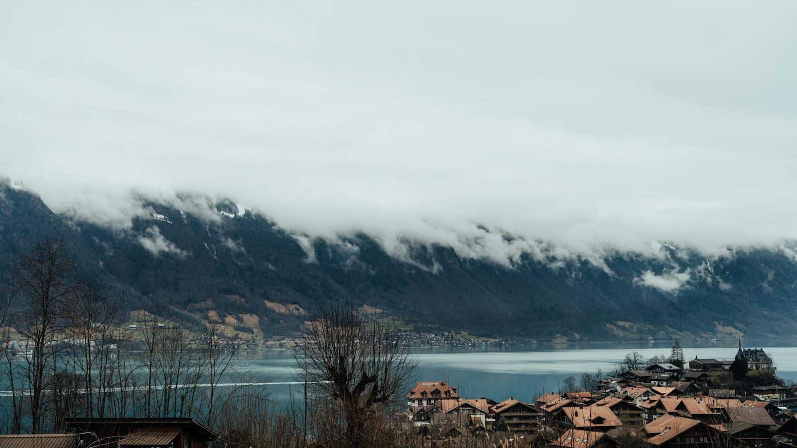
Why big cities end up with several postcodes
Big cities rarely grow in one clean, expanding ring. An old historic core, new housing blocks, massive station areas, and dedicated business zones often sit right next to each other. Because these areas were built at different times for different purposes, the postal system doesn't always draw clean borders around them.
That is exactly why Zurich, Basel, Bern, or Lausanne show several postcodes on a single city page.

Having several postcodes is not a badge of status. It doesn't mean a city is necessarily "better" or more important. It mainly shows how layered and complex the city is inside.
Where the split comes from
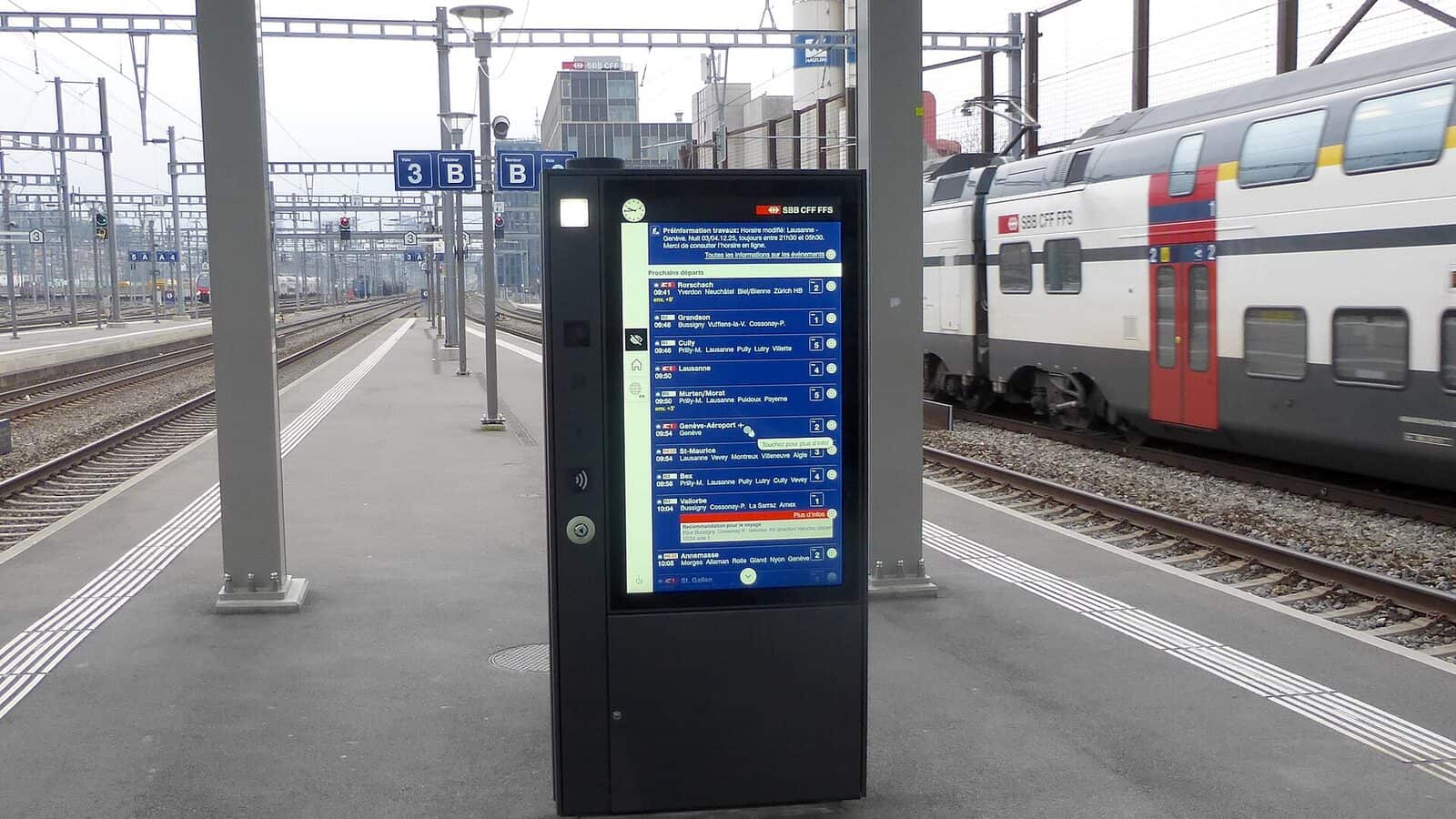
If you look closely at where postcodes divide, the break often follows a major railway station area, the edge of an old village that was swallowed by city expansion, or a newer quarter that grew into the city later.
Postal zones are highly practical. They answer the immediate needs of mail delivery first, not urban planning theory. Because of this, the same street can feel like it belongs to the city center but still fall under a completely different postcode.

This is completely normal. It just means that looking at the map matters a lot more than just counting how many postcodes a city has.
What to take from PLZHub
If you are doing a quick first pass on PLZHub, look at localities, postcode density, and municipality overlap. These metrics tell you much more than a raw postcode count. If you see several codes clustering tightly around one city, compare the page with the municipal layer and our method notes.
For a second reference point, read Which Swiss cities have especially many postcodes alongside our Methodology and source notes. And remember: once your question has real-world consequences - like moving or registering a business - the official source still wins.