Demographic notes
BFS- Population and age values come from BFS sources or postcode-level weighting.
- Because this postcode spans multiple municipalities, the aggregates are weighted estimates.
- For official figures, use BFS or municipal sources.

in Canton Neuenburg
2073 Enges has roughly 2'589 residents in the weighted view. Localities, municipalities, and streets show the real structure behind the postcode.
This postcode spans 2 municipalities, so demographic figures should be read as weighted estimates.
This page shows useful relationships around the postcode: municipality, canton, tax-comparable postcodes, similarly sized places, and nearby alternatives.
Current conditions and 3-day forecast from Open-Meteo.
Who lives here?
Source: BFS STATPOP 2024
These notes explain how postcode-level demographics are produced and where official municipality sources are more precise.
23 streets found
Select a street to show its details here.
All public transport stops inside postcode 2073, based on the Federal Office of Transport (BAV) layer on geo.admin.ch.
Top matches for: 2073 Enges NE Laténa Le Landeron Enges
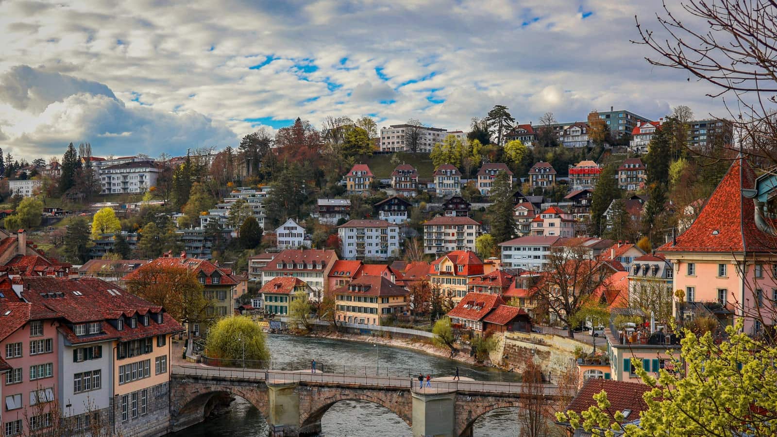
Read the postcode as an address split, not as one administrative unit. The examples below show a clean 50/50 case, a dominant case, a nearly single municipality case, and a fragmented case.
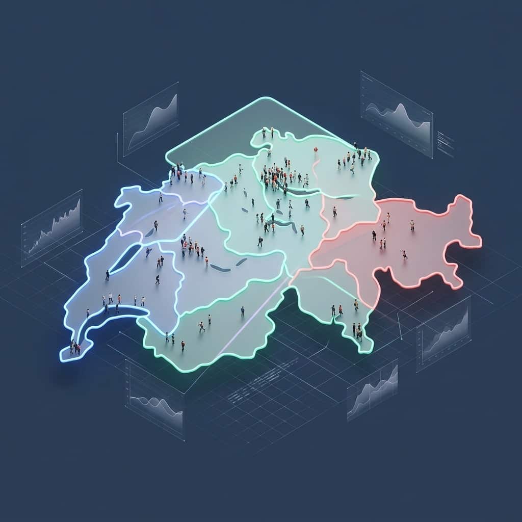
In mixed postcodes, the population belongs to the postal boundary, not a specific town. Here is how to read the data without getting misled.
A reliable comparison keeps the ESTV scenario fixed and checks which municipality supplies the tax result shown for each postcode.

How to read a postcode without giving it more weight than it deserves. We show which signals help and when you should move on to an official check.
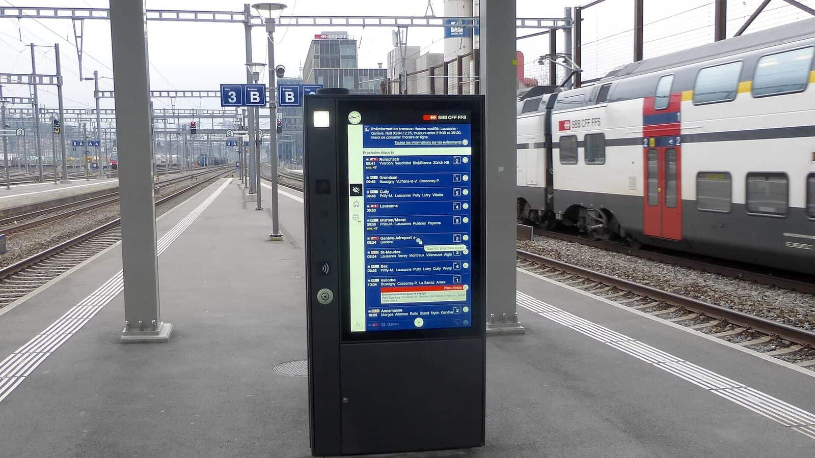
Leaving Lausanne for the surrounding municipalities is rarely just a tax decision. When rates are nearly identical, the real choice is about commuting and infrastructure.

The comparison shows which demographic fields help when rent data is missing, and what they can and cannot tell you about a municipality.